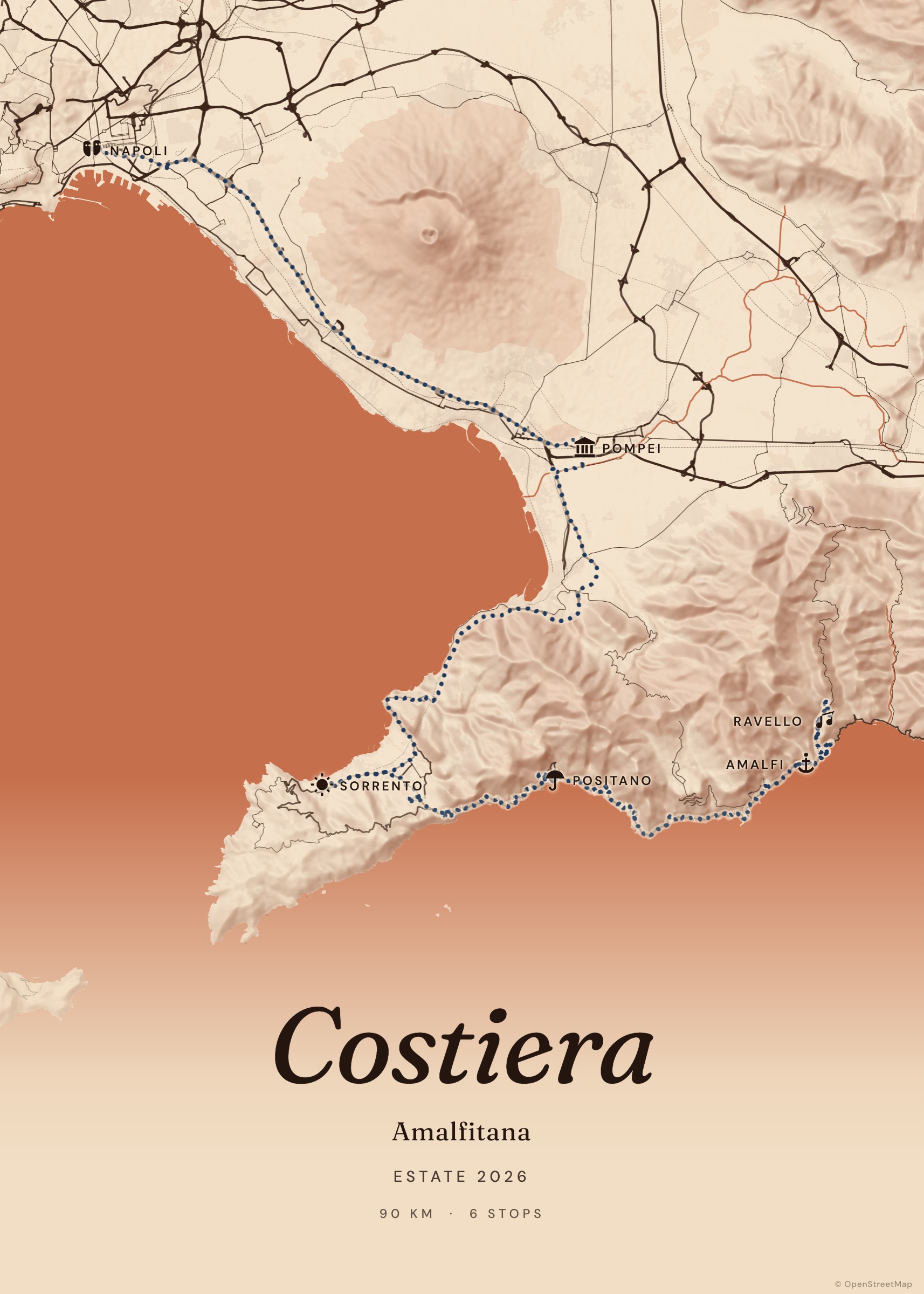
Google Maps import
Paste a directions link — even a short one — and every stop arrives in order.
Turn a road trip, a hike or a year of adventures into a print-ready poster — real roads, your photos, your words. Free, private, no account.
Search places, click the map, paste a Google Maps link, drop a GPX — or let your photos’ locations build the route for you.
Twelve cartographic palettes, six typefaces, terrain relief, polaroids of your photos and a title worth framing.
Download a high-resolution PNG or a PDF at true print size, or share a link that replays the journey.
Paste a directions link — even a short one — and every stop arrives in order.
Drop your travel photos: we read where and when they were taken and draw the route.
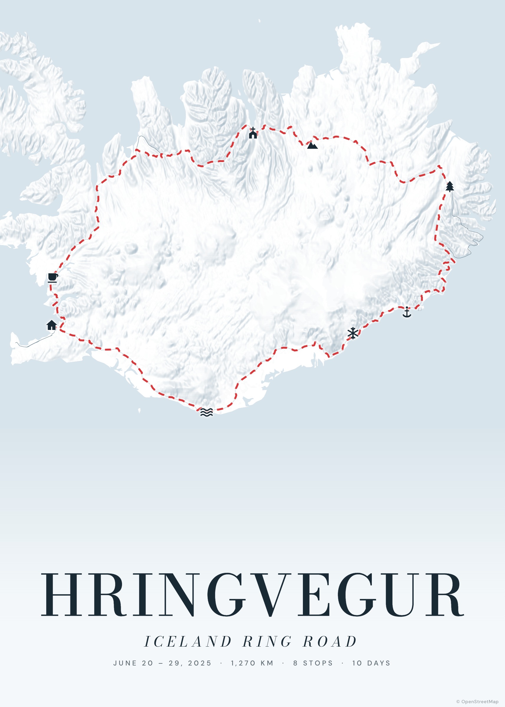
Real road routing for driving, cycling and hiking. Great-circle arcs for flights.
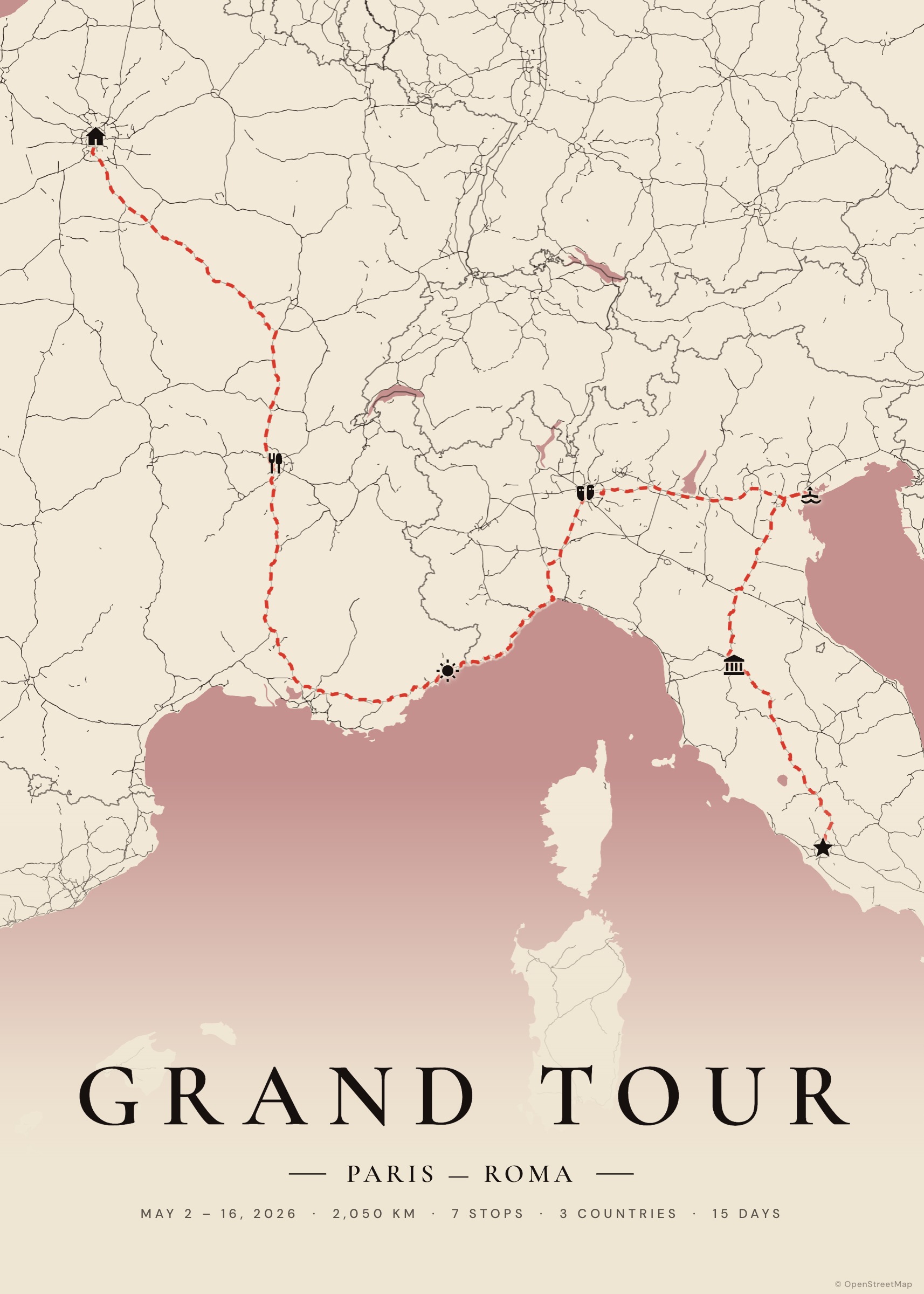
Twelve themes from Dusty Rose to Blueprint, each a complete map style — not a filter.
Vector maps re-rendered at full resolution. PNG, JPG, or PDF sized for 50×70.
Every journey on one spinning globe, with the countries you’ve crossed and the kilometres you’ve covered.
Share a link and friends travel the route with you, stop by stop, on an animated map.
No account, no uploads. Trips and photos live in your browser; share links carry the trip itself.
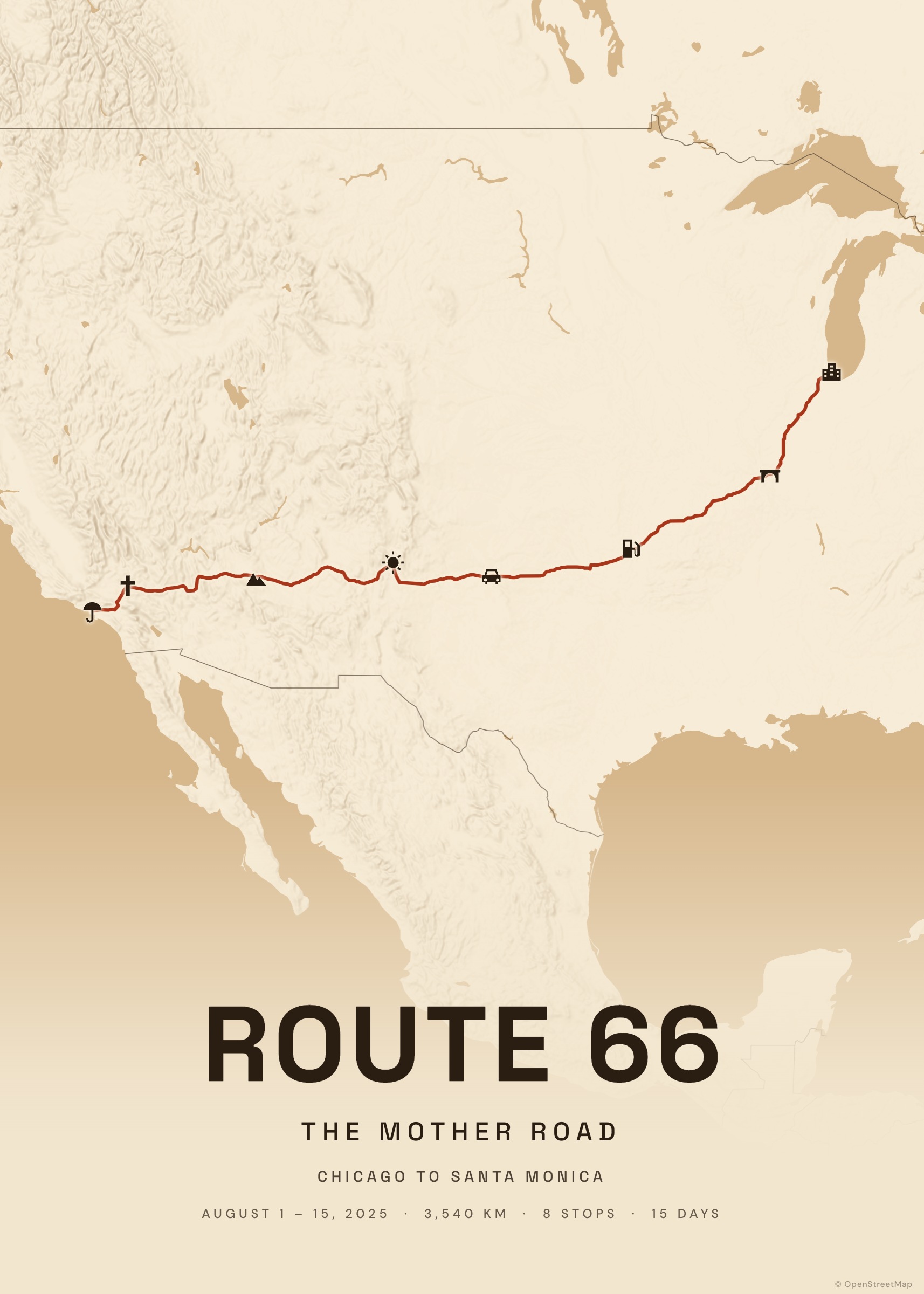
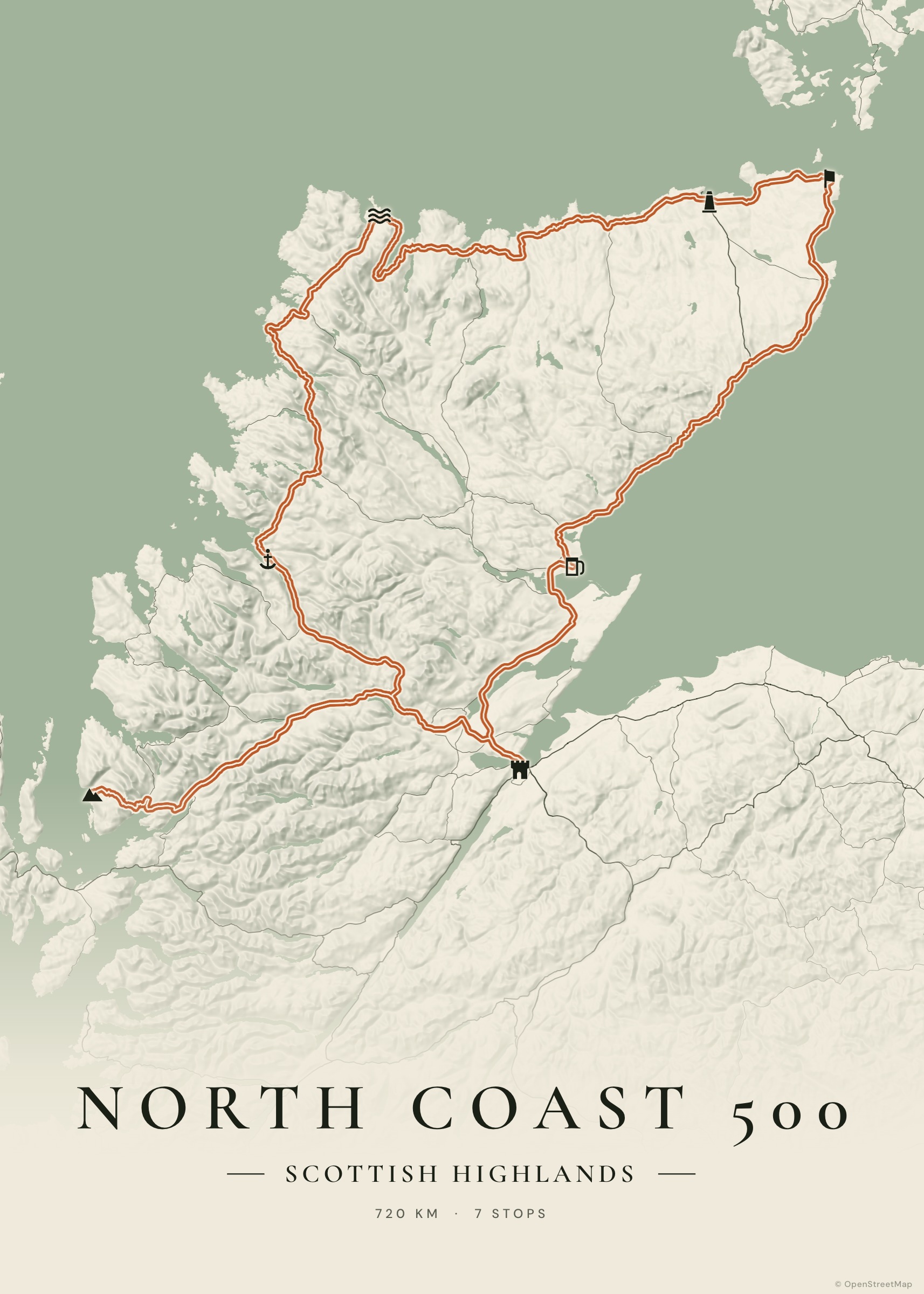
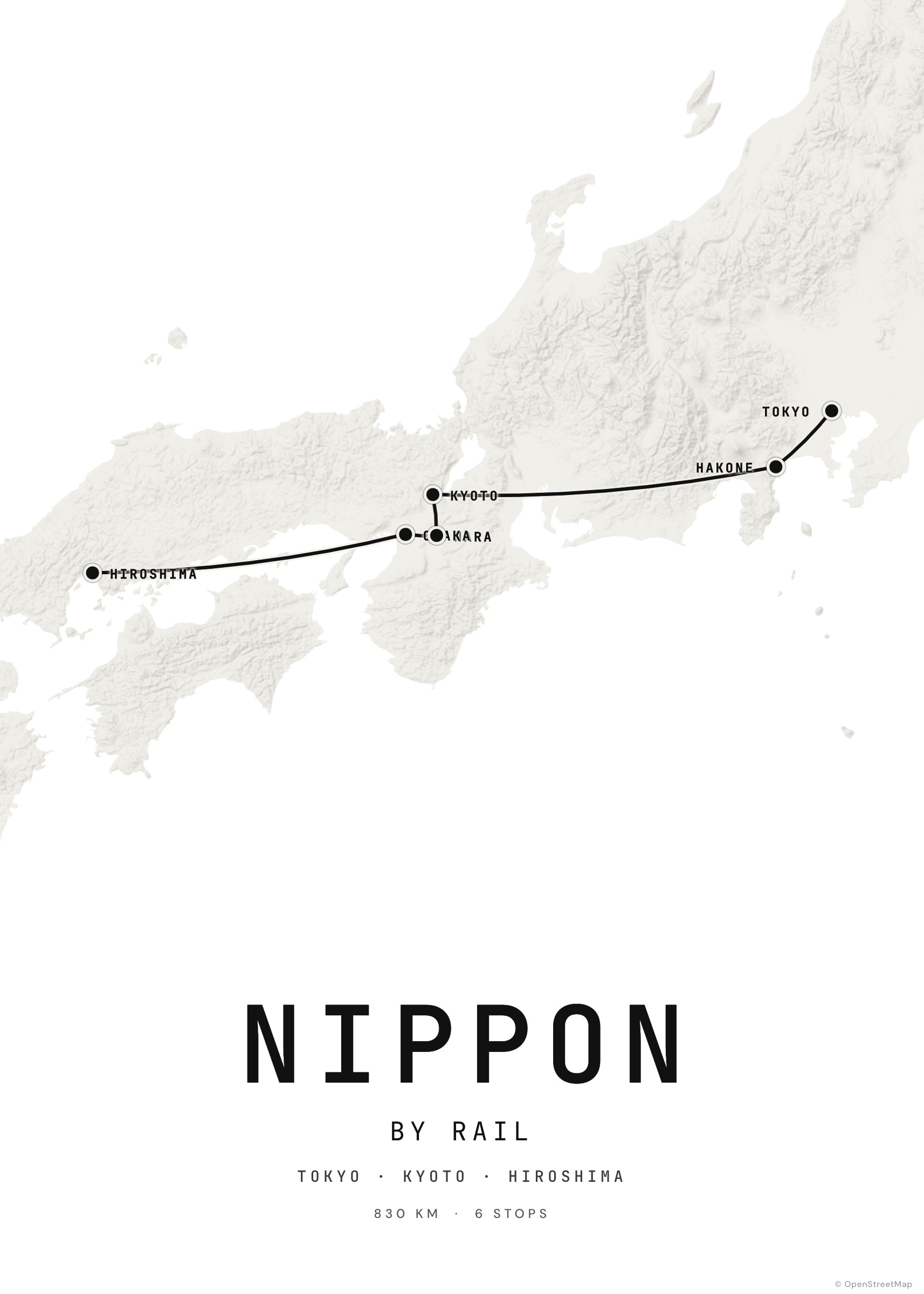
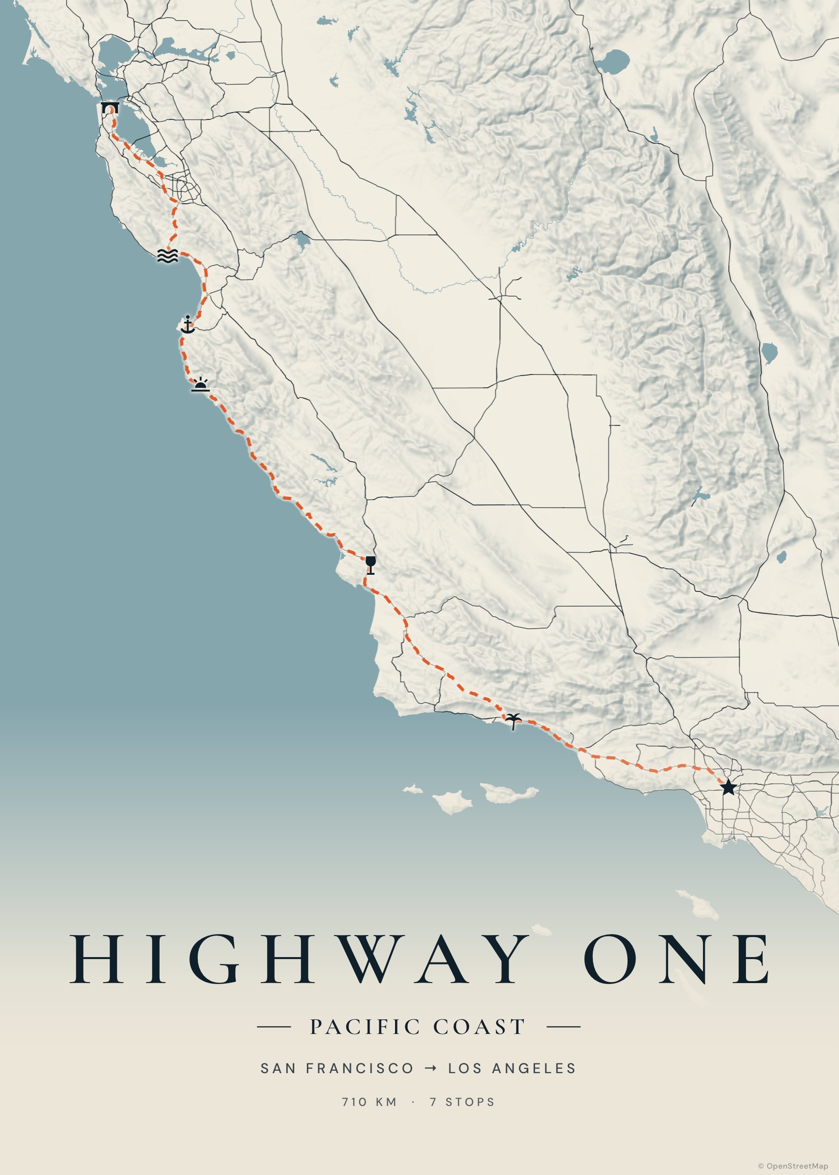
Every example opens in the studio — change the route, the colours, the words. Make it yours.
“The best souvenir isn’t something you bought on the road. It’s the road.”
Made a poster? Be the first to tell others how it went.
Yes. Tratto runs entirely on open data and free, open-source services. Every feature — import, photos, high-resolution export — is available to everyone. If you love it, you can support development with a voluntary donation.
No. Your journeys are saved automatically in your browser. Use “Download backup” in My journeys to move them to another device.
Export the PDF: it’s sized to the real format (50×70 cm, A2…) at up to ~200 dpi. Any print shop or online lab will take it as is.
From OpenStreetMap, the map of the world made by millions of volunteers, served by OpenFreeMap. Routing is by Valhalla and OSRM, place search by Photon.
GPX (Strava, Komoot, Garmin, AllTrails…), KML from Google My Maps and Google Earth, GeoJSON, Google Maps directions links and geotagged JPEG photos.
Only you. Your trips and photos are never uploaded: when you share, the journey is compressed into the link itself. We only count anonymous usage (pages visited, posters exported) to improve Tratto — no names, no IP addresses, no third-party trackers.
It takes a few minutes, and you’ll have it for a lifetime.
Create your map