Turn a GPX file into a poster of your route
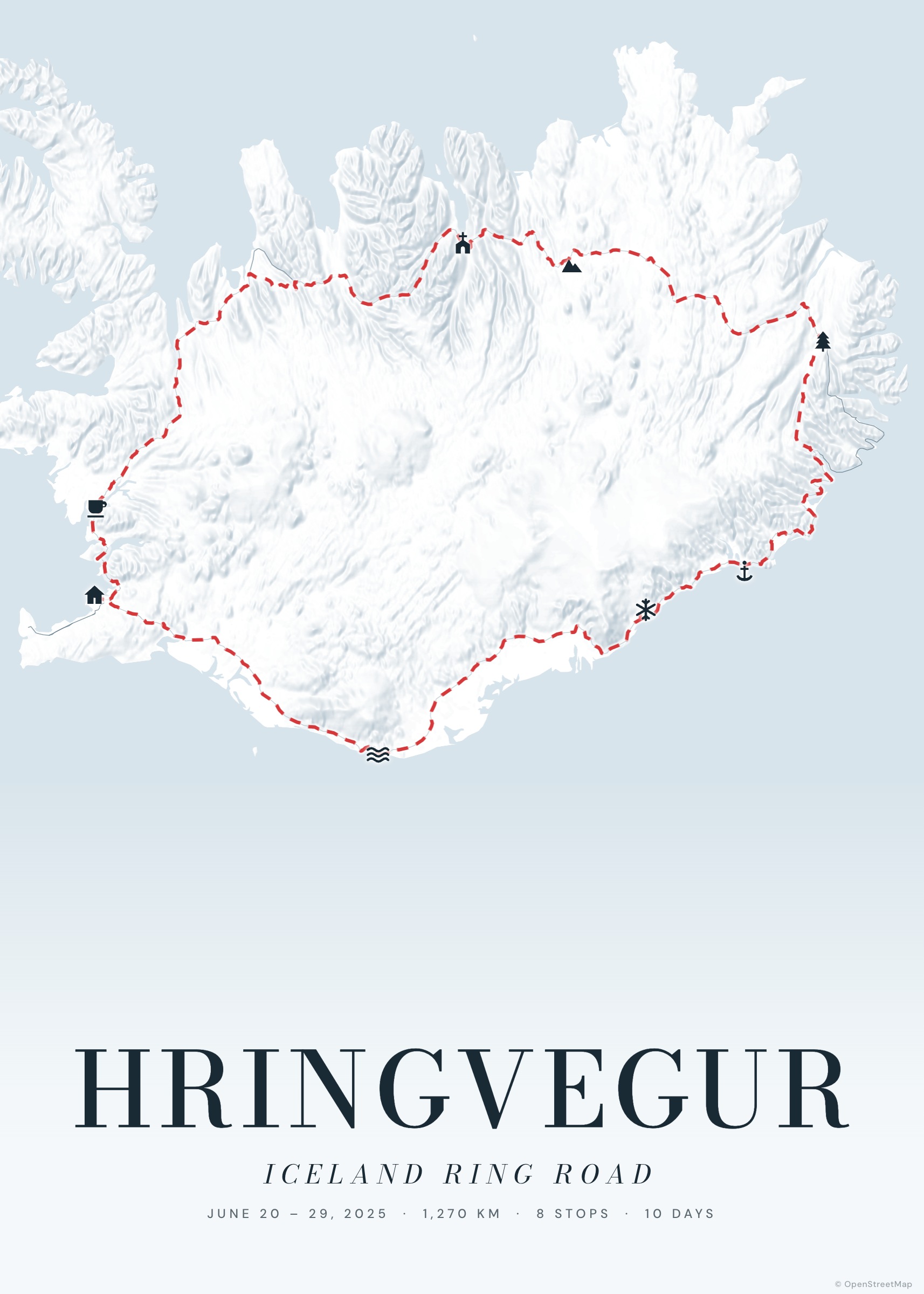
Your watch or app already recorded the exact line you followed. Tratto turns that GPX track into a poster: the real shape of the ride, run or hike, on a cartographic map with terrain relief, your title and your numbers.
Nothing is uploaded to a server: the file is read in your browser, and the track stays on your device.
Create your poster — free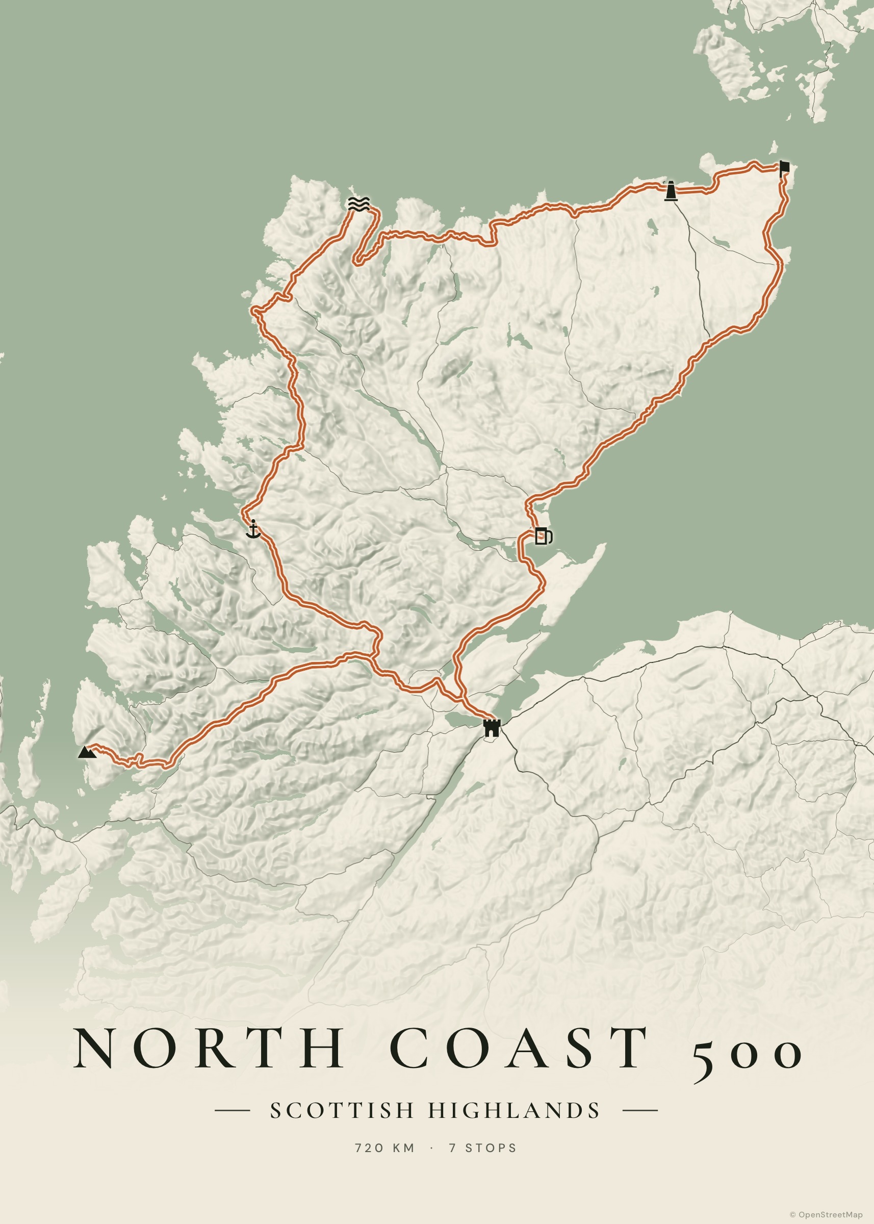
How it works
Export the GPX
From Strava, Komoot, Garmin Connect, Wahoo, AllTrails or any GPS app. KML from Google My Maps / Google Earth and GeoJSON work too.
Drop it into Tratto
Open the studio, choose Import and drop the file. Long tracks are simplified without losing their shape.
Style it
Add terrain relief for mountain routes, pick a palette, place names and a title.
Export
PDF at true print size, or PNG/JPG up to ~6000 px.
The exact track, not a recalculated route
An imported track is drawn exactly as recorded: switchbacks, out-and-back sections and loops included. You can still add stops with photos, dates and notes along the way.
Great for
A first marathon, a gran fondo, a multi-day bikepacking trip, a summit hike, a season of rides combined into one map. For races, add the date and distance in the subtitle and the poster becomes a finisher print.
Examples to start from
Frequently asked questions
How do I export a GPX from Strava?
Open the activity on the Strava website, click the three-dots menu and choose “Export GPX”. On Komoot, open the tour and use “Download GPX file”. On Garmin Connect, open the activity, click the gear icon and choose “Export to GPX”.
Can I combine several GPX files?
Import the first file, then import the next ones choosing “Add after” instead of “Replace”: each track becomes its own leg.
Is my GPX uploaded anywhere?
No. The file is read in your browser and saved only on your device.