A travel map made from your photos
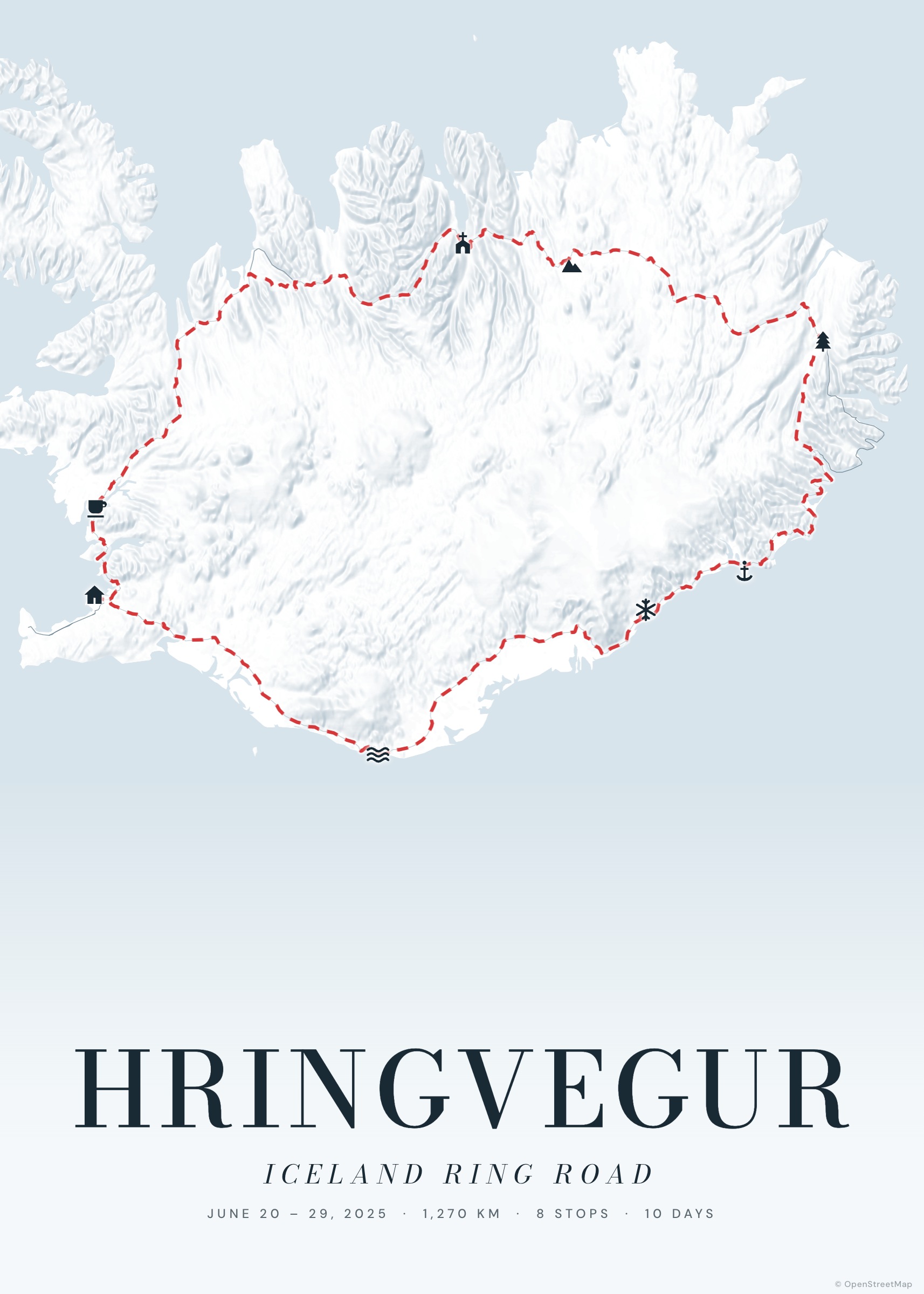
Your phone already knows where you were. Drop a selection of travel photos into Tratto: it reads where and when each one was taken, groups them into stops, orders them by time and draws the route between them.
Then the photos appear on the map as polaroids, connected to their place by a thin line — a photo book and a map in one print.
Create your poster — free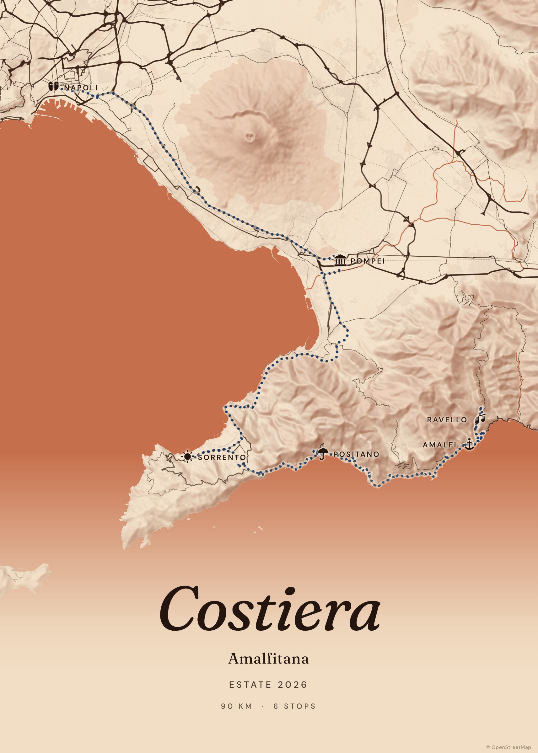
How it works
Choose your photos
JPEG photos with location (most phone photos have it). On iPhone, share as “Most Compatible” to get JPEG instead of HEIC.
Drop them in
Import → Photos. Tratto groups photos taken close together into one stop.
Arrange the polaroids
Drag each polaroid where it looks best; double-click to reset it.
Export
Photos are embedded in the PDF/PNG at print quality.
Private by design
Photos are processed in your browser and saved on your device — they’re never uploaded. Shared links carry the route, not the pictures.
Tips for the best result
Pick one strong photo per place. Faces and landscapes with a clear subject read better at polaroid size than wide panoramas.
Examples to start from
Frequently asked questions
My photos have no location — what can I do?
Tratto tells you how many photos had no GPS data. Add those stops by searching the place, then attach the photo to the stop.
Does it work with HEIC?
HEIC photos can be read only in Safari. Elsewhere, export them as JPEG first.
How many photos can I use?
As many as you like for building the route; on the poster, one polaroid per stop.