A poster for the trail you walked
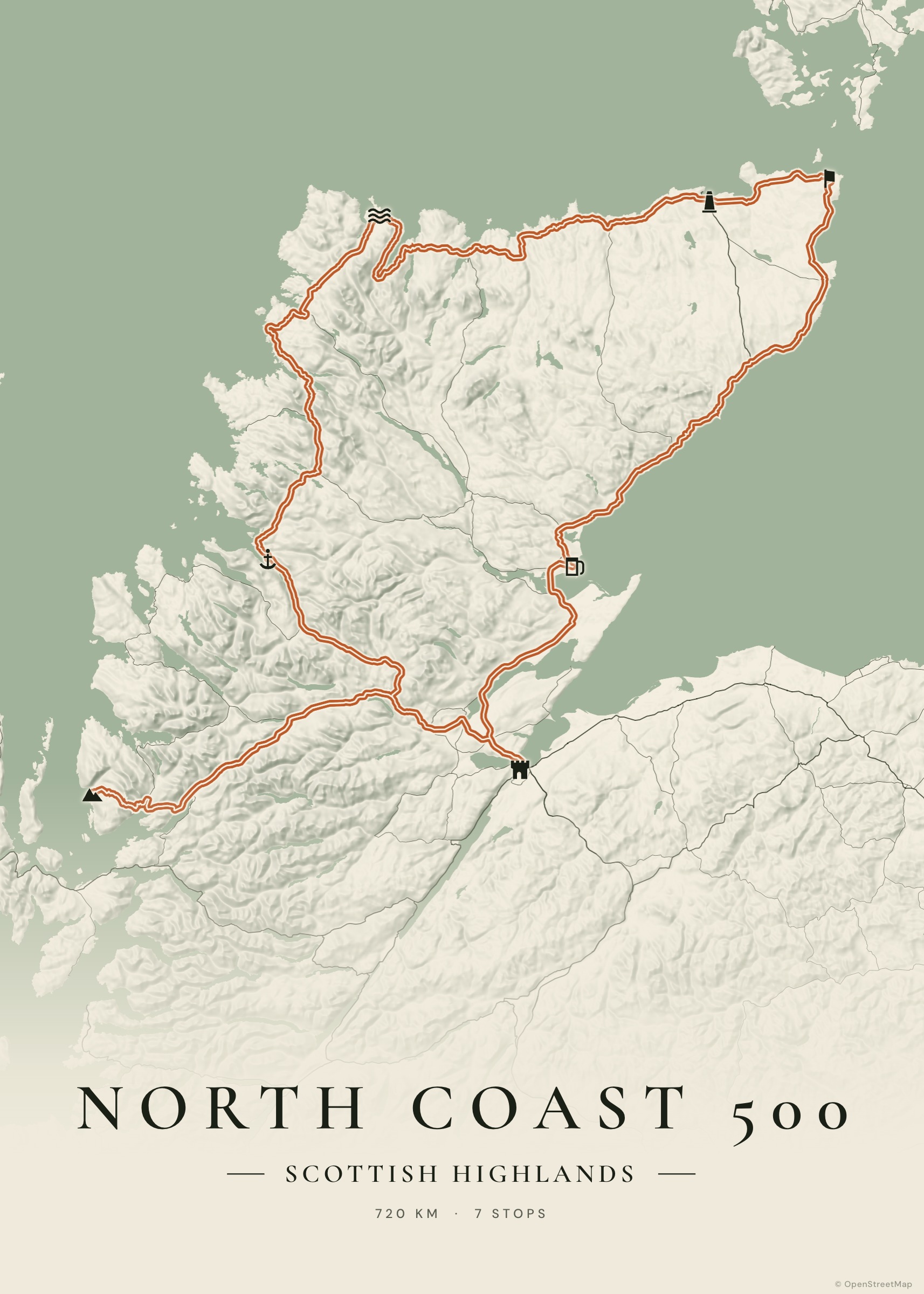
Weeks on the Camino de Santiago, a hut-to-hut alpine trek, the Via Francigena to Rome, a single unforgettable summit: walking routes deserve a map that shows the terrain they crossed. Tratto draws your trail over shaded relief, with each stage as a stop.
Import the GPX from your watch for the exact track, or add the stages one by one and let Tratto route them on footpaths.
Create your poster — free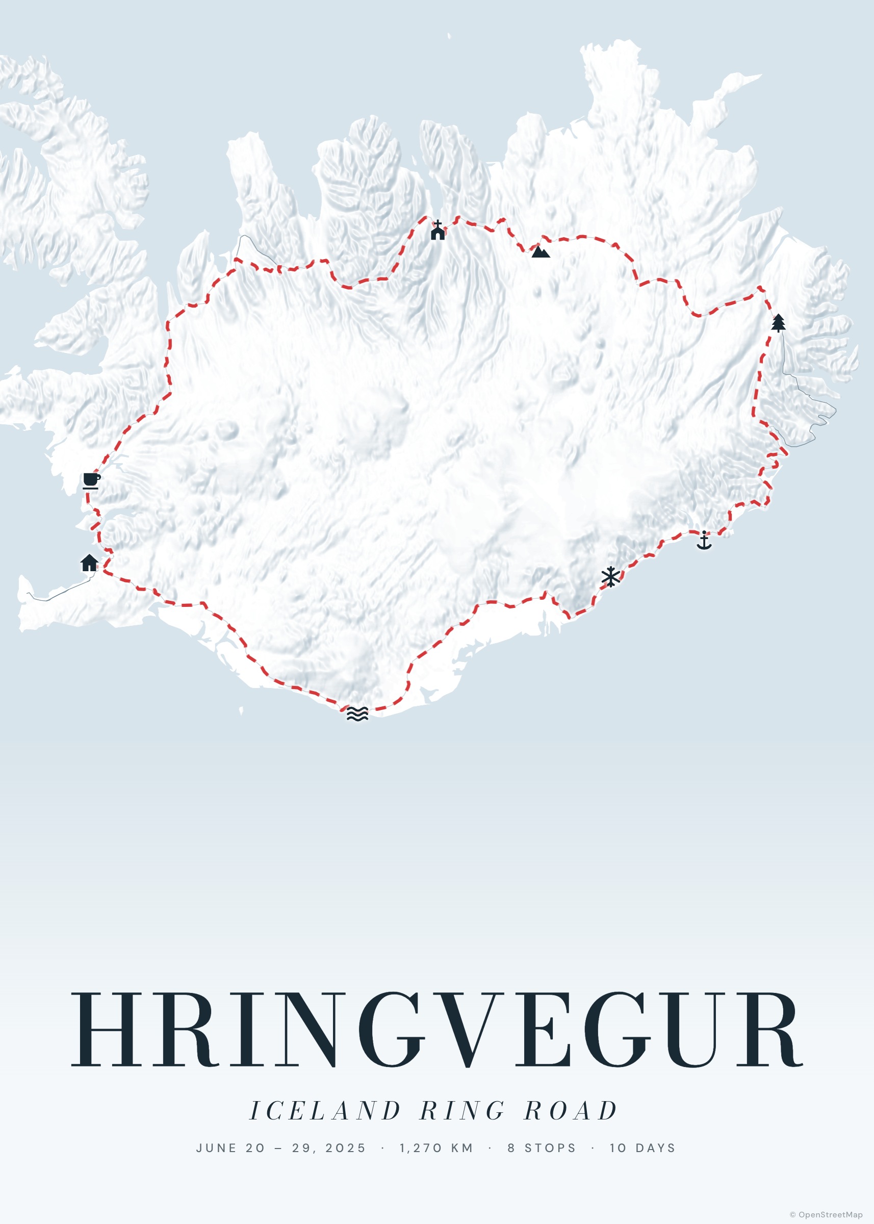
How it works
Add the stages
Import a GPX, or search each stage town and choose “walk” as mode: the route follows paths and tracks.
Turn on relief
The terrain slider shades mountains and valleys from open elevation data.
Add the story
Dates for each stage, a photo for the best moments, total distance and days on the poster.
Print
Portrait, landscape or square, up to 50×70 cm.
Pilgrim routes and long trails
The Camino Francés from Saint-Jean-Pied-de-Port to Santiago, the Camino Portugués, the Via Francigena, the GR20, the Tour du Mont Blanc, the West Highland Way, the Alta Via 1: long routes look beautiful at poster size because the line has room to breathe.
A keepsake for a group
Walked with friends? Share the journey link: everyone can open it, save their own copy and print it in their favourite colours.
Examples to start from
Frequently asked questions
Does walking routing use trails?
Yes: walking legs are routed for pedestrians on OpenStreetMap paths and tracks. For off-trail sections, import your recorded GPX.
Can I show each stage?
Each stop can show its name, a number or an icon, with optional labels placed automatically so they don’t overlap.
Is there elevation data?
The map can show terrain relief; elevation profiles aren’t part of the poster yet.