A cycling route poster for the ride you’ll never forget
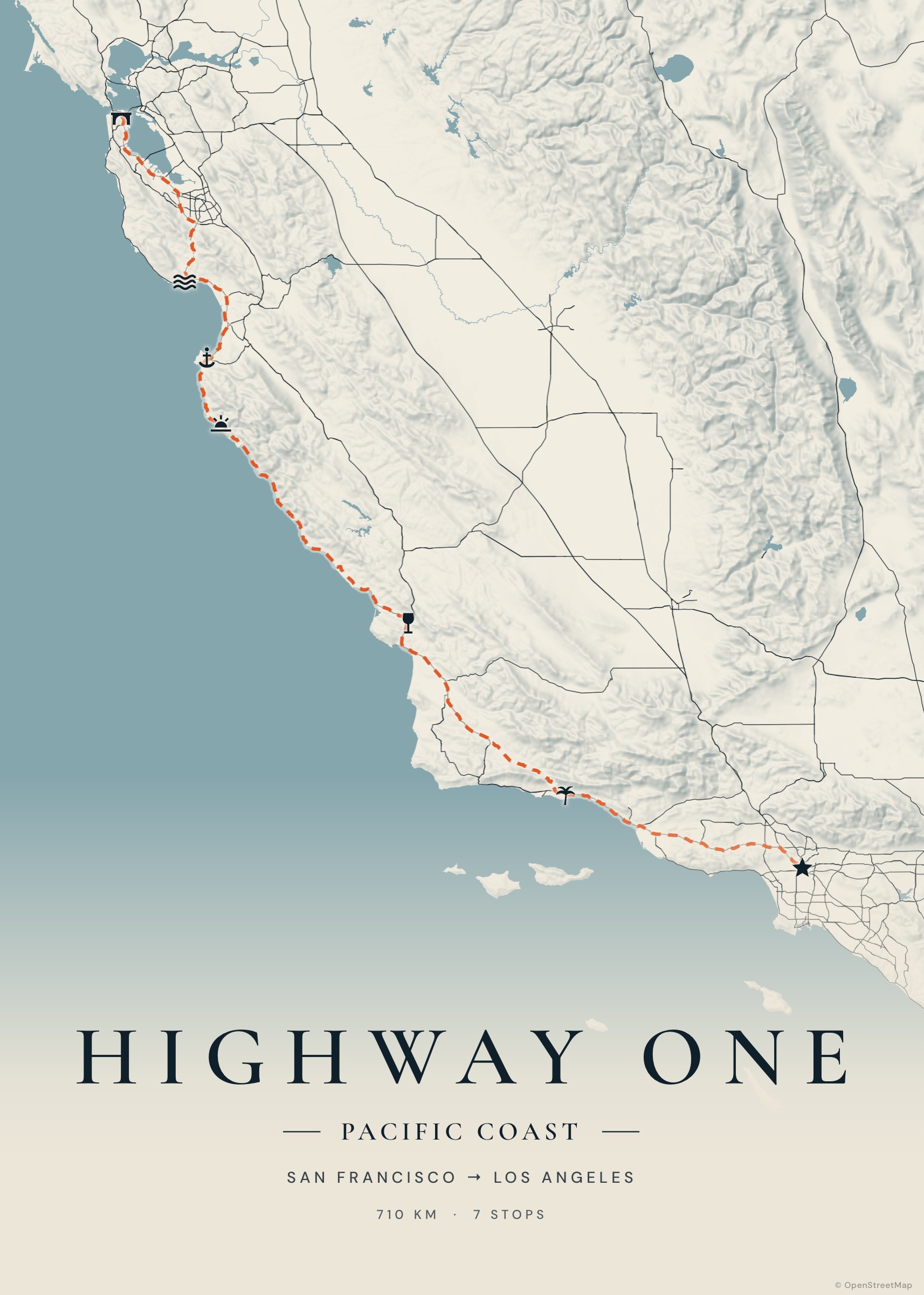
A cycling holiday across a region, the climb you trained all year for, a first century, a bikepacking adventure: Tratto turns the ride into a map poster with the route, the distance and the days in the saddle.
Use bike routing between stops, or import the GPX from your bike computer for the exact line.
Create your poster — free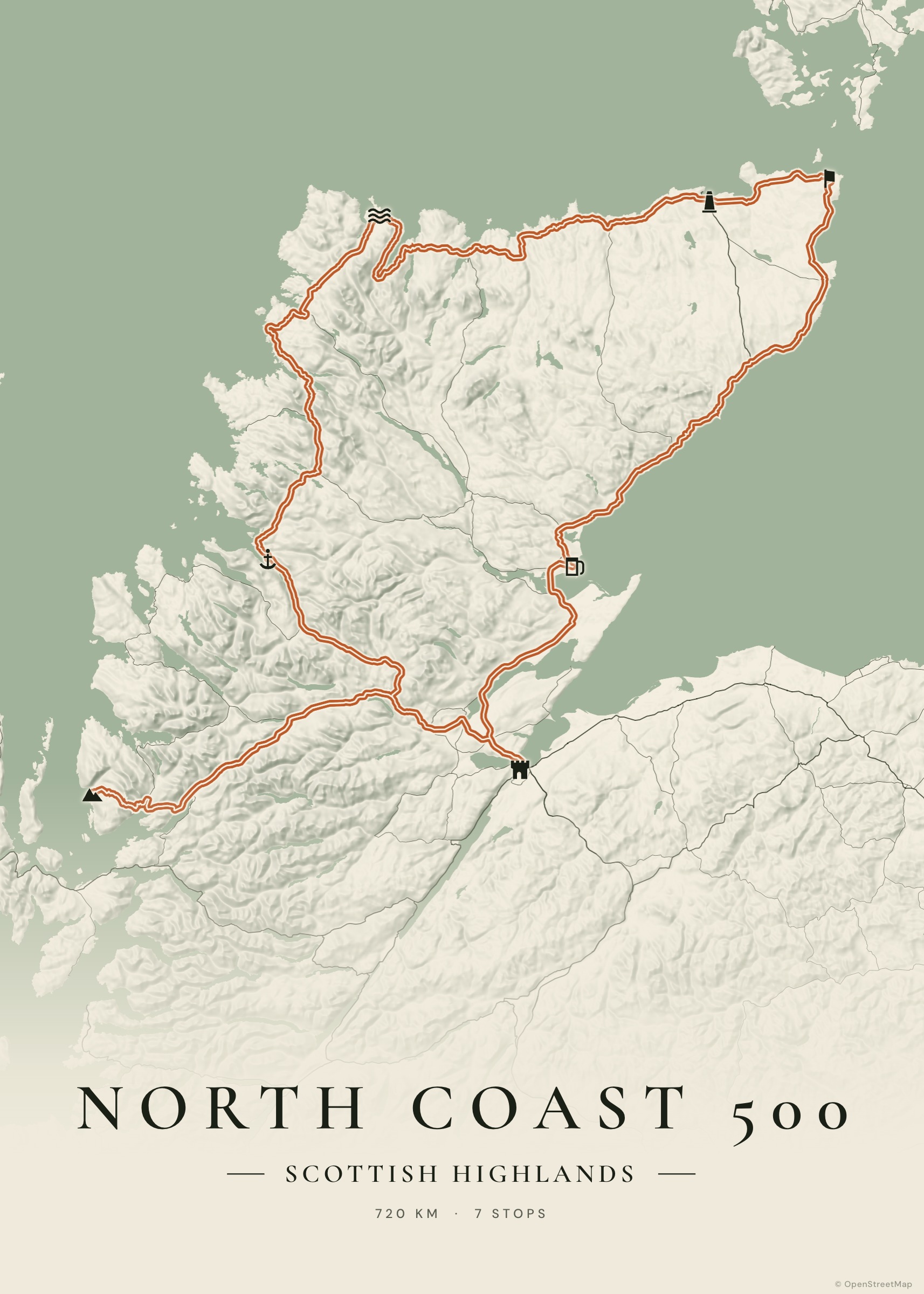
How it works
Draw or import
Add towns and choose “bike” as mode, or import a GPX/FIT-converted GPX from Strava, Garmin, Wahoo or Komoot.
Show the terrain
Relief makes the climbs visible; a solid or double route line reads well from across the room.
Add the numbers
Distance and days are on the poster automatically; put the elevation gain or the finish time in the caption.
Export
PDF or high-resolution image.
Bike tours and classic climbs
Stage races recreated, the Stelvio and the Gavia in one map, the Danube cycle path, the Loire à Vélo, the coast of Puglia, a season of Sunday loops: anything with a line works.
A gift for a cyclist
Ask for their GPX (or rebuild the route from the stops), choose their club colours with a custom route colour, and print it: it’s one of the most personal gifts you can give a rider.
Examples to start from
Frequently asked questions
Does bike routing avoid motorways?
Yes, bike legs are routed for bicycles on OpenStreetMap data.
Can I use a FIT file?
Convert it to GPX first (Garmin Connect and Strava can export GPX directly).
Can I change the route colour?
Yes, every palette lets you override the route colour, width and line style.